turbidity_satellite_estimation
Surface turbidity estimation in the Mar Menor lagoon from Planet SuperDove imagery, calibrated against in-situ CTD measurements, with leakage-aware CatBoost and gradient boosting models.
PhD candidate · University of Murcia
I work on artificial intelligence — deep learning on heterogeneous, real-world data, distributed and federated learning, and the security and privacy of AI models. I care about AI that is reliable, trustworthy and works outside the lab.
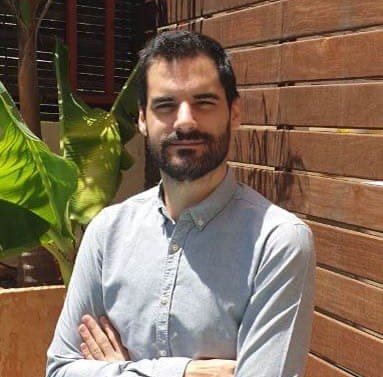
I am a PhD candidate in Computer Engineering at the University of Murcia (Department of Information and Communication Engineering), working on Knowledge Acquisition through Artificial Intelligence Techniques for Sustainable Environments. Alongside my research I am an Associate Professor in the same university, teaching in the Computer Engineering programme.
Before the PhD I spent several years at IMIDA developing deep learning models on sensor, satellite and weather data. Today my research spans multi-source learning, distributed and federated AI, and the security and privacy of machine learning models — in 2026 I joined IBM Research Europe in Dublin as a research intern, studying vulnerabilities in large language models.
Learning across devices and institutions without centralising data, from AIoT at the edge to the cloud.
Adversarial attacks, data leakage and privacy-preserving training, including LLMs.
Deep learning and computer vision on time series and imagery from satellites, sensors and weather data.
Robust models under domain shift, deployed on edge and cloud infrastructure.
Full list on ORCID.
More on GitHub.
Surface turbidity estimation in the Mar Menor lagoon from Planet SuperDove imagery, calibrated against in-situ CTD measurements, with leakage-aware CatBoost and gradient boosting models.
Soil moisture at five depths from Sentinel-2 indices and optimally-lagged meteorological features. LSTM, CNN and hybrid models under a leak-free temporal evaluation protocol.
Attention-enhanced CNNs (CBAM) and transfer learning for peach leaf damage classification under domain shift, plus an annotated benchmark.
Desertification assessment and forecasting from a decade of Sentinel-2 time series (2015–2025), with a Desertification Degree Index and BiLSTM / ConvLSTM forecasting.
Effect of manual annotation refinement on instance segmentation accuracy in UAV-LiDAR-based forest inventories.
Downloads, cloud-masks and crops imagery from the Copernicus Data Space Ecosystem — the data layer behind most of the projects above.
Security and privacy vulnerabilities in large language models: adversarial attacks, prompt injection, data leakage and privacy-preserving fine-tuning.
Deep learning on large-scale sensor and geospatial data, privacy-preserving distributed AI, and applications to environmental monitoring and agriculture.
Undergraduate teaching in the Computer Engineering programme.
AI pipelines for crop monitoring, soil analysis and agronomic decision support, built together with domain experts.
Enterprise software to automate university administrative processes, across the full development lifecycle.
Meteorological data pipelines (SIAM, AEMET) and ML models for evapotranspiration and crop condition estimation.
University of Murcia · International Mention
University of Murcia · Thesis on soil moisture and crop monitoring with satellite imagery and deep learning
University of Murcia · Thesis on reference evapotranspiration estimation with machine learning
Education, experience, publications and skills in a single PDF.